
Alamogordo ZIP Code Coverage
Official research supports two postal labels associated with Alamogordo. One is used for city street addresses and appears in city public-office listings. The other is documented as an Alamogordo Post Office box ZIP. These are postal uses, not mapped neighborhoods. USPS is the authority for a current delivery-point check, while City maps and county records answer different geography questions. The nearby number 88312 has not been verified for Alamogordo and should not be included merely because it is numerically close.
| Postal label | Verified Alamogordo use | Post office or city label | How to handle it |
|---|---|---|---|
| 88310 | City street-address use; city public-office listings use it | Alamogordo postal city | Run the full address through USPS for a current delivery point and ZIP+4. It does not prove a city-limit status. |
| 88311 | Post Office box ZIP associated with Alamogordo | Alamogordo Post Office in a federal USPS notice | Treat as PO Box or unique postal use unless USPS confirms a specific mailing address. It is not a neighborhood boundary. |
A federal USPS notice identifies 88312 with Alto, not Alamogordo. No official source located a precise delivery-boundary description for 88310, a city-and-ZIP boundary map, local ZIP population figures, or a ZIP realignment date. The safe method is to verify a specific address each time.
Verify an Alamogordo ZIP Code
The USPS Zip Code Lookup is the documented postal tool. It can search a street address with city and state, a street address with ZIP, a city and state to list ZIP Codes, or a ZIP Code to list cities covered. For an individual delivery address, enter the address rather than infer a label from a map or a nearby address. USPS cautions that its result does not confirm that a person or company is actually at the address, and the service may standardize the address differently from the wording entered.
| USPS field | Field type | Needed for address mode | Observed use |
|---|---|---|---|
| Street Address | Address text | Yes | Identifies the delivery point with City and State. |
| City | Text | Yes | Used with the street address for a postal lookup. |
| State | State value | Yes | Used with the street address and City. |
| Company | Text | No | An optional refinement. |
| Apt/Suite/Other | Text | No | An optional refinement for the entered address. |
| ZIP | ZIP text | No | An optional refinement when a known ZIP is being checked. |
Use the USPS Zip Code Lookup for the postal verification step. Keep the returned standardized address and ZIP+4 with the date checked. Do not convert that result into a claim that someone lives there.
Alamogordo ZIP Code Verification Steps
A ZIP narrows a delivery question. It does not produce a reliable list of people, owners, or nearby voters. The documented workflow uses USPS for mail geography, City resources for city orientation, and county custodians for parcel or recorded-document questions. That separation matters in Alamogordo because postal city labels and municipal history can overlap without matching.
- Enter the actual street address, City, and State in the USPS address mode.
- Save the standardized address and the returned ZIP+4, along with the date of the check.
- Use the USPS result only for delivery geography. It is not evidence of residency or city-limit status.
- Check City Maps or City GIS when the question is street orientation, city coverage, land use, or infrastructure.
- Ask the Otero County Assessor or Otero County Clerk for parcel or recorded-document facts when the question concerns property or legal description.
Once a delivery point has been narrowed to a street, the Alamogordo Street Directory explains the separate map, assessor, and clerk routes. No county property portal ZIP filter was verified, so it would be inaccurate to promise a ZIP-wide property search.
Alamogordo ZIP Code Polling Location
NMVote offers a Search Voting Location Data function that uses a street number and ZIP to return the nearest voting location. It can be useful after USPS has confirmed the postal label for a real address. Its output is a polling-place result, not a resident roster and not a public name search. It should never be used to infer who lives at an address, who is registered nearby, or whether an unlisted address means a person is not registered.
| Street number | Used by NMVote's voting-location tool to identify the nearest polling location. |
|---|---|
| ZIP | Used with the street number for the polling-location query. |
| Output boundary | Polling place only. The tool does not return individual resident names. |
Open NMVote for the documented street-number and ZIP polling-place route.
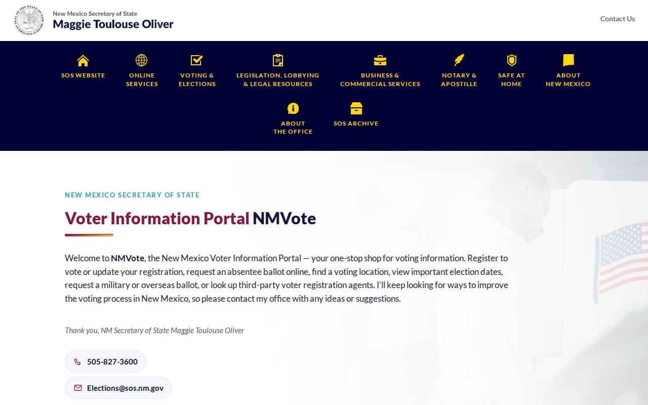
The postal inputs make this a useful location check, while the tool's purpose keeps it separate from any attempt to identify residents.
Alamogordo ZIP Code and Voting Data
The Secretary of State's voter-registration statistics are a geography-level resource. They provide registration data for congressional, county-precinct, house, senate, judicial, and public-education-commission districts, plus statewide totals and a 2026 data route. The published geography categories are not individual-address records, and the research did not verify a ZIP filter or a ZIP-by-ZIP Alamogordo population table. Use these data for aggregate context, not for a list of residents in a postal area.
Review the New Mexico voter-registration statistics for the available aggregate geography.
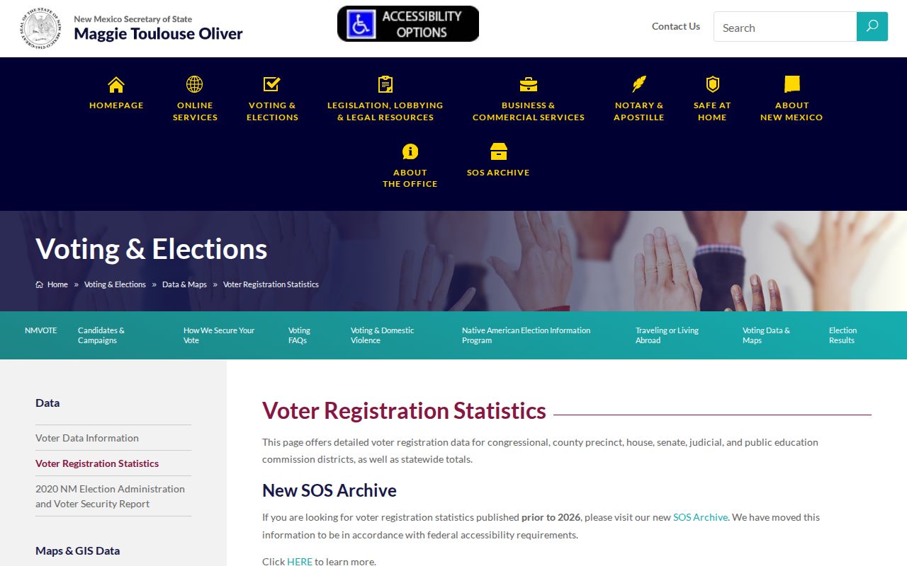
The statistics source is useful for area-level election context, but it is not a ZIP-address or person-search database.
Alamogordo ZIP Code and City Limits
Postal Alamogordo and municipal Alamogordo are related but separate descriptions. The City Maps hub supplies a printable street map, control sheets, and an interactive ArcGIS map. City GIS maintains addressing, land-use, and infrastructure layers and processes property and infrastructure data requests. City Planning and Zoning handles annexation and subdivision activity. Those city tools help orient an address, but the postal result remains the USPS question and a parcel jurisdiction remains a county-record question.
The original city was generally bounded by Indian Wells Road, Railroad Avenue, Third Street, and Washington Avenue. Large annexations totaling about 2,440 acres occurred in 2004 to 2005. That documented change helps explain why a postal city label, historic city-limit conclusion, and current parcel record can point to overlapping but different geography.
When the location must be pinned down, begin with the printable street map or interactive map for orientation, then retain the parcel identifier and legal description from the appropriate county source. A postal result can help find the right delivery form, but it cannot settle a boundary question by itself. That is especially important for a historic address that may predate later annexation.
Note: Verify postal city, city limits, and parcel jurisdiction separately whenever a record depends on the location label.
Alamogordo ZIP Code Terms
Postal and property records use different labels. Reading the terms correctly prevents a mailing result from being used as a legal or municipal conclusion. A legal description identifies property through a subdivision, lot and block, survey, or another recorded description. A street or situs address is the practical location; a mailing address is correspondence information when a custodian displays it.
- ZIP Code
- A postal delivery label. It does not define an Alamogordo neighborhood or city boundary.
- ZIP+4
- The more specific postal code returned for a delivery-point check. Verify it with USPS when the mailing address matters.
- PO Box ZIP
- A postal label used for post-office-box service. The documented 88311 label should not be treated as a neighborhood.
- Unique ZIP
- A postal use associated with a particular service pattern. The research does not verify any broader Alamogordo neighborhood from 88311.
- Carrier route
- A delivery-routing concept. No official local carrier-route data or resident-search use was located for this research.
Historic Alamogordo ZIP Code Work
Older material needs the street name and date beside the postal check. Alamogordo's 1898 plan used numbered east-west streets and state-named north-south streets. Present White Sands Boulevard was historically Pennsylvania Avenue. A directory, newspaper, deed, or map that says Pennsylvania Avenue may describe the same local corridor under its historic form. Do not overwrite the original wording with a modern street or ZIP label before checking the date and geographic context.
City redevelopment material notes 1905 Sanborn maps, although the exact editions and sheets were not verified. The 1898 grid, later growth, and annexations give useful context for testing an old address. They do not supply a universal street conversion or a historical ZIP boundary. Preserve the source form, then use City maps, parcel records, and USPS for their distinct purposes.
Alamogordo ZIP Code Research Limits
No official local source captured a ZIP-by-neighborhood map, a ZIP realignment year, a ZIP-capable Assessor or GIS field list, or a county property filter by ZIP. City ArcGIS may support map searching, but its live field list was not captured. For a property question, use a real address with the Assessor, Clerk, City maps, GIS, or Planning channels instead of assuming that a postal label can retrieve a complete local roll.
The Otero County Clerk is the local contact for voter-file requests, historical registration questions, corrections, and protected-record issues. The office is at 1104 N. White Sands Boulevard, Suite C, Alamogordo, and its published phone is 575-437-4942. A current county voter-file request form, fee schedule, permitted-recipient rule, delivery format, and historic poll-book collection were not located in official sources. Ask the Clerk which fields may be released under the voter-information statute, whether an IPRA request is needed, current pricing, use limits, and whether protected records are suppressed.
The separate voter self-lookup requires a first name, last name, date of birth, and county. It does not accept a ZIP as a general public people-search field. For a lawful records question that cannot be answered by the postal or polling-place tools, the Clerk is the documented local fallback.
Read the New Mexico voter-registration information for the documented privacy boundary.

Protected voter information and postal results both have limits. An absent result is never proof that a person does not live in Alamogordo or lacks a registration record.