
Trace an Alamogordo Street Directory Address
Begin an Alamogordo street search with one complete address, including the street form printed on the source in hand. The City map establishes where the address sits in Alamogordo. The Assessor supplies the current parcel layer when access is available. The Clerk holds the recorded-document layer. Library materials can then test older names linked to the same Alamogordo street. This sequence is useful because a street name is an orientation tool, while a legal description is the more durable connection between a recorded transfer and its parcel.
- Locate the address on an Alamogordo printable map, control sheet, or interactive map. Preserve the spelling and any directional wording used by the map.
- Ask the Otero County Assessor for the parcel identity and current ownership, assessment, or tax-history context. The online record card is currently unavailable, so Alamogordo counter or phone help may be needed.
- Take the parcel or legal-description clue to the Otero County Clerk for the acquisition document. That document starts a recorded ownership sequence.
- Use the prior party and the same legal description to move one transfer earlier. The voter portal is not a public street-browsing tool and does not replace this step.
- For earlier Alamogordo names, ask Library Reference Services whether a relevant reverse or criss-cross directory, newspaper reel, or HeritageQuest image is available.
Note: Keep the source date beside every Alamogordo street spelling, especially when the address trail reaches the original city grid.
Orient an Alamogordo Street First
Alamogordo has a documented street-history clue that can prevent a false dead end. When the town was laid out in 1898, east-west streets received numerical names and north-south streets received state names. Present White Sands Boulevard was historically Pennsylvania Avenue. An older Alamogordo deed, directory, newspaper, or Sanborn reference using Pennsylvania Avenue can therefore describe the same local corridor under the historical form. Copy the original notation before adding a modern equivalent.
The Alamogordo Maps hub supplies a printable street map, control sheets, and an interactive map for that first orientation. The City material also says the original core was generally bounded by Indian Wells Road, Railroad Avenue, Third Street, and Washington Avenue, while later growth and annexation changed the municipal picture. A postal Alamogordo label, a historical city boundary, and a parcel jurisdiction should be checked as separate facts.
The official maps page is pictured here before any property conclusion is made.
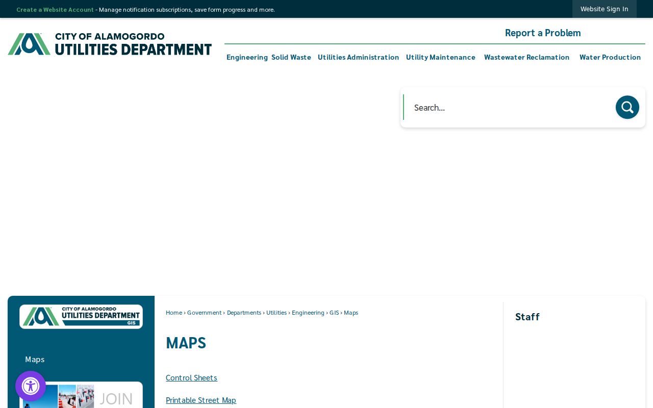
The printable and control-sheet options make the image a useful Alamogordo street-orientation reference, not an ownership record.
Check Alamogordo Parcel Records
The Otero County Assessor EagleWeb entry point advertises current ownership, tax history, and assessment history for Alamogordo-area parcels. It requires JavaScript and cookies. The inspected landing page did not expose an address, owner, or parcel search control, and it did not establish a way to browse a whole Alamogordo street. The Assessor also says its public property record card was removed by its provider because of a malfunction, with no estimated restoration. Call 575-437-5310 or use the counter for current access questions.
The public Assessor page states that notice-of-value ownership data were current through February 27, 2026. That timing note makes an Alamogordo result a research lead rather than title certification. The Assessor describes assessment duties and does not perform title searches or map legal descriptions. Recorded deeds belong with the Clerk.
| Assessor item observed | Type | Verified Alamogordo-specific status |
|---|---|---|
| Search form | JavaScript web form | Controls and labels were not observable during inspection. |
| Current ownership | Result category | Advertised on the EagleWeb landing page. |
| Tax history | Result category | Advertised on the EagleWeb landing page. |
| Assessment history | Result category | Advertised on the EagleWeb landing page. |
| Property record card | Result view | Removed by the software provider, with no restoration estimate. |
| Deed access | Separate route | EagleWeb says deeds do not load there; use the Otero County Clerk. |
The EagleWeb welcome screen shown below identifies the Assessor’s property-data role.
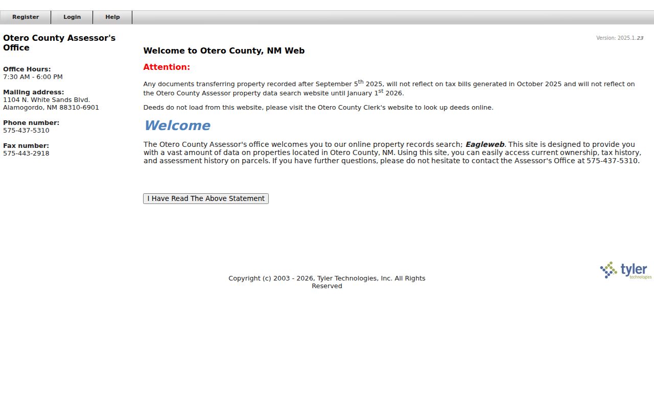
The image supports the Alamogordo property-research starting point, while the counter remains necessary when the record-card outage blocks detail.
Read Alamogordo GIS Limits
City GIS maintains Alamogordo addressing, infrastructure, and land-use layers, and it processes property and infrastructure data requests. That makes GIS useful for placing an Alamogordo address on a block and reading public geography around it. The interactive ArcGIS controls were not available for field inspection. No verified address autocomplete, parcel click, owner layer, adjacent-parcel control, measurement tool, or whole-street result list should be assumed from the map.
| Alamogordo GIS item | Observed form | Use and limit |
|---|---|---|
| Control Sheets | Map-hub link | Published for locating mapped blocks. |
| Printable Street Map | Map-hub link | Useful for street-grid orientation. |
| Interactive Map | ArcGIS iframe | Individual controls were not exposed in inspection. |
| Addressing, land-use, infrastructure | Layer categories | Maintained by City GIS; not ownership certification. |
| Data request | Staff channel | City GIS says it processes requests; route and fees were not published. |
The Alamogordo GIS information page is the source for this mapping context.
Use the City’s accuracy caution with the image: an Alamogordo map helps orient a record request but cannot substitute for a legal description.
Compare Alamogordo Street Directory Records
An Alamogordo street directory is a chain of custodians, not a single roster. The map puts an address in context. The Assessor can supply current property categories. The Clerk preserves deeds, mortgages, agreements, and other recorded documents. City Planning adds land-use and subdivision context. Each has a different limit, so record the agency, date, and label before joining facts from two sources.
| Address-keyed record | Alamogordo-area keeper | What it can establish | Access and caution |
|---|---|---|---|
| Assessment/property record | Otero County Assessor | Current ownership, tax history, assessment history | EagleWeb or counter; card outage and timing cutoff require confirmation. |
| Recorded deed, mortgage, agreement | Otero County Clerk | Recorded parties, transaction document, legal-description trail | Documents Online or Clerk counter; portal fields and coverage were unavailable. |
| City Maps and GIS | City GIS | Street, addressing, infrastructure, land-use orientation | Maps hub, ArcGIS, or data request; no owner certification. |
| Subdivision, plat, survey, zoning | County and City Planning resources | Lot/block, subdivision, and land-use context | Counter, forms, and map resources; exact search fields were not located. |
| Historical directory or newspaper | Alamogordo Public Library | Time-stamped name and address leads | Reference help, HeritageQuest, and microfilm; local year runs are unverified. |
Alamogordo residents can use each record for its own purpose. A property owner can appear in the assessment layer, while a directory or census may supply a separate historical household clue. Never turn either clue into proof of present occupancy.
Follow Alamogordo Deeds Backward
For an Alamogordo parcel, move from current property context to the recorded acquisition document. The Assessor directs deed users to the Clerk because deeds do not load in EagleWeb. The official Clerk Documents Online route was unavailable during the research inspection. No public field list, online cutover, image availability, or fee rule was verified. Call the Clerk at 575-437-4942 or inspect records at 1104 N. White Sands Boulevard, Suite C, rather than guessing what the portal contains.
At the Alamogordo Clerk counter, ask how the historical index can be searched and where the online, microfilm, or deed-book boundaries fall. Start with the current owner’s acquisition document. Then use the prior party and the same legal description to identify the preceding transfer. Repeat only when the document actually connects the same property. This is recorded ownership research, not legal title advice.
Note: Route an Alamogordo deed or other recorded-document request to the Clerk, the office that preserves those records, instead of treating a map as proof.
Separate Alamogordo Situs and Mail
Several Alamogordo address terms look alike but do different work. The current card outage means exact EagleWeb labels could not be confirmed. When a card returns or counter staff provides information, copy a physical address, a correspondence address, and a legal description exactly as the custodian labels them. A correspondence address may identify where mail goes, not who is at the property.
- Parcel
- A property unit used by the Assessor for the current property layer and by researchers to focus an Alamogordo record inquiry.
- Situs address
- The practical physical location of property. Research verified the concept, but not a current live EagleWeb field label.
- Legal description
- The recorded property identifier, such as a subdivision lot/block, survey, or other description. It is the durable bridge when an Alamogordo street form changes.
- Criss-cross directory
- A reverse directory organized by address or street. The Library can confirm whether an Alamogordo or Otero example exists for a requested period.
Alamogordo street evidence is strongest when the street notation, parcel clue, legal description, source date, and custodian all agree. A postal match alone does not settle those separate facts.
Use Alamogordo Planning Records
City Planning & Zoning reviews Alamogordo building-permit paperwork for zoning compliance and handles city annexation, subdivision, and zoning work. Its Planning & Zoning page provides the department context. City forms list permit, land-use, subdivision, annexation, and zoning materials. Neither official source verified an online Alamogordo street-by-street permit lookup.
Make a narrow request: give the Alamogordo street address, a rough project period, and the record type sought, such as a permit application, land-use review, subdivision or annexation record, or zoning map. For a county record whose custodian is unclear, Otero County’s IPRA procedure offers a defined inspection or copy request route. Direct questions to the known office first, because a deed, map, or planning record has a different custodian.
The City Planning & Zoning page is represented in this Alamogordo street-research image.
The image supports a planning-context inquiry, while recorded ownership remains an Otero County Clerk question.
The Alamogordo documents and forms collection shows the land-use and permit-form route.
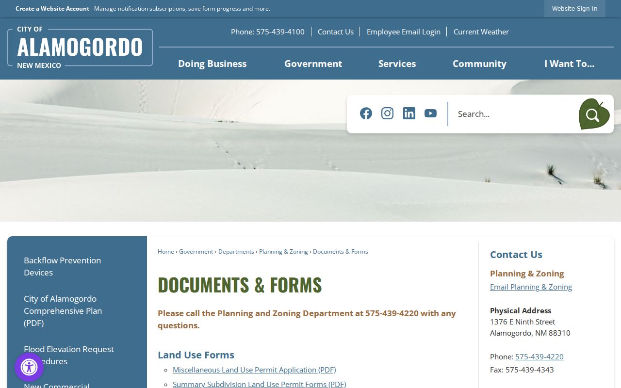
The forms image is a reminder to request a defined Alamogordo record type rather than assume a searchable permit database exists.
Search Alamogordo Street History
For past names on an Alamogordo street, the documented local fallback is the Alamogordo Public Library’s genealogy service at 920 Oregon Avenue, phone 575-439-4148. It offers a dedicated genealogy workstation, reference assistance, circulating genealogy material with a library card, and in-library reference material. The Library also confirms historical local newspapers on microfilm.
HeritageQuest access through the Library includes a city-and-county directory collection dated 1821-1989 across the collection. That range does not verify a complete Alamogordo run. Ask Reference Services whether the relevant local volume, telephone book, reverse directory, newspaper reel, or HeritageQuest image exists, and whether it uses Pennsylvania Avenue or the present White Sands Boulevard form. The broader historical collections are described on the Alamogordo City Directory page.
Copy the full historical line, including number, initials, occupation or business clue, and date. Pair it with deeds, newspaper evidence, and the census rather than treating one directory line as a complete street record.
Limit Alamogordo Voter Searches
The New Mexico Voter Information Portal is an authenticated self-lookup. It requires first name, last name, date of birth, and county, including Otero. It can return the queried person’s registration and election information, districts, voting location, sample ballot, absentee status, voting history, and county-clerk contact. It is not an Alamogordo street browser and cannot be used to build a list for a road or block.
For official voter-file questions, use the Otero County Clerk’s lawful process and respect the state’s protected information rules. The Secretary of State notes that month and day of birth and Social Security number are protected on registration applications. A self-query does not disclose another person’s private details.
Keep Alamogordo Street Records Private
An Alamogordo street search has firm boundaries. A parcel owner is not necessarily the person at the address. Utility customer information is not a public street directory, driver-license information has federal privacy limits, court systems omit addresses and other personal information, and Safe at Home can substitute a mailing address for qualified participants. City GIS also does not certify property ownership or identify people on a block.
Lawful use. Use Alamogordo address records for personal, lawful research such as family history or civic curiosity. Do not use a name, map, or recorded document to stalk, harass, or harm a person.
When an Alamogordo record is uncertain, confirm it with the responsible custodian and record the limitation rather than filling the gap with an assumption.