
Find Alamogordo Previous Residents
Alamogordo address history works best as a sequence of eras, not as a promise that one record answers every year. Begin with the latest verifiable Alamogordo parcel. Then use the recorded-document route for the Alamogordo ownership trail. Add Alamogordo Library directory and newspaper evidence for named households, and use the census for dated household snapshots. An absence in any one source is a gap to investigate, not proof that nobody was connected to the address.
| Alamogordo source | Years it covers | Where held or accessed | What it contributes |
|---|---|---|---|
| Assessor EagleWeb | Current; historical retention not published | EagleWeb or Assessor counter | Current ownership, tax history, and assessment history; card unavailable. |
| Clerk recorded documents | Online and book cutoff not located | Documents Online or Clerk counter | Recorded transfer chain, parties, and legal-description clues. |
| HeritageQuest directories | 1821-1989 collection-wide | Library card access or reference workstation | Name, address, and business listing leads; local volumes unverified. |
| Local newspaper microfilm | Titles and runs not located | Alamogordo Public Library | Obituaries, notices, social items, and address clues. |
| Federal census | 1790-1950 public | National Archives and library genealogy channels | Household composition and, in selected years, street-address clues. |
| Sanborn maps | 1905 cited in City material; full list unverified | Library of Congress search and City historical planning material | Block and building chronology with old street layout. |
For earlier Alamogordo years, start with the source that can place the address in time. An Alamogordo deed can lead through recorded owners, while a directory or census can indicate a household at an address on its own date. Previous residents research becomes more reliable when the date and source type are not mixed together.
Start With an Alamogordo Parcel
The Otero County Assessor EagleWeb portal advertises current ownership, assessment history, and tax history. It is the current-property starting point for an Alamogordo address, but the landing page required JavaScript and cookies and its search controls were not visible during inspection. Its public property record card has been removed by the provider because of a malfunction, with no restoration estimate. When an Alamogordo result cannot be inspected, call the Alamogordo Assessor at 575-437-5310 or ask at the Alamogordo counter for current access options.
The Assessor’s notice says ownership data for Alamogordo 2026 notices of value were current through February 27, 2026. That makes the parcel layer a dated lead, not a title conclusion. Alamogordo City Maps and GIS can orient an Alamogordo address and its public land-use or infrastructure setting, but no verified parcel-owner or adjacent-parcel tool was found in the City interface. Use the map first, then get Alamogordo parcel and recorded-document facts from county custodians.
Note: Preserve the Alamogordo street form, parcel clue, and source date before moving to the Clerk’s recorded-document route.
Trace Alamogordo Deeds Backward
Recorded deeds supply the ownership layer behind an Alamogordo address. The Assessor directs people seeking deeds to the Otero County Clerk because deeds do not load from EagleWeb. Move one document at a time and compare the legal description before deciding that two names refer to the same property. That discipline is important when an older Alamogordo street form differs from the present form.
- Get the current Alamogordo parcel identity and any legal-description or subdivision clue available from the Assessor.
- Find the current Alamogordo owner’s acquisition instrument through the Clerk’s index or at the Clerk counter.
- Read the prior party named in that instrument and retain the exact legal description with the document date.
- Use that prior party and the same legal description to locate the preceding recorded transfer.
- Repeat only where the Alamogordo records link the same property, and ask the Clerk where the online, microfilm, or deed-book boundary falls.
- Grantor
- The party transferring an interest in a recorded document.
- Grantee
- The party receiving that interest. A later grantee can become the earlier owner whose acquisition document is sought.
- Chain of title
- The sequence of recorded transfers connected by the same property description. It is a research trail, not legal title advice.
- Legal description
- The recorded property identifier, such as a subdivision lot/block, survey, or other description. It is more durable than an Alamogordo street address.
Previous residents and prior Alamogordo owners are different questions. The Alamogordo deed trail identifies recorded transfers, while historical directory, census, and newspaper material may offer dated household evidence.
Confirm Alamogordo Clerk Access
The official Otero County Clerk Documents Online route was unavailable during inspection. The official research did not establish search fields, required terms, result columns, document images, image fees, redactions, or an online starting year. Do not supply an invented cutoff for the Alamogordo deed trail. Call 575-437-4942 or visit the Alamogordo Clerk at 1104 N. White Sands Boulevard, Suite C, to ask how the historical index is searched and which Alamogordo books or images are available.
Recorded documents
The Clerk records and preserves deeds, mortgages, agreements, and other permanent public documents. The counter is the verified fallback when Documents Online does not respond.
Defined county request
For a county record only when the custodian is unclear, Otero County’s IPRA procedure accepts a specific inspection or copy request. Known deed questions should still go to the Clerk first.
Otero County’s IPRA request process asks for the requester’s contact information, an inspection-or-copy choice, and a specific records description. It is an Alamogordo-area countywide fallback, not a substitute for the Clerk’s recorded-document counter.
Pair Alamogordo Directories and Census
For a household layer, the Alamogordo Public Library is the documented local access point. Its genealogy service at 920 Oregon Avenue, 575-439-4148, provides a dedicated workstation, reference help, circulating genealogy materials with a library card, and in-library reference material. The Library also confirms historical local newspapers on microfilm. Ask Reference Services for the relevant Alamogordo or Otero directory, telephone book, reverse directory, newspaper reel, obituary material, or yearbook, because the official site does not publish a complete list of local directory runs.
- Search a name, initials, alternate spelling, business name, and the printed Alamogordo street form in HeritageQuest and the Library catalog.
- Record the city, year, address as printed, name form, and any business or occupation clue from the result.
- Check a second edition before concluding that a household moved, because publication timing and incomplete listings create gaps.
- Pair the dated directory lead with a federal census schedule. The National Archives makes census schedules through 1950 public under the 72-year rule.
- Use recorded deeds, newspaper microfilm, and probate context to test a later or earlier Alamogordo connection.
Library HeritageQuest access includes more than 1.5 million city-and-county directory records dated 1821-1989 across the collection. That is not evidence of an unbroken local run. The collection itself is detailed on the Alamogordo City Directory page, while the address-by-address research path stays focused here.
The National Archives 1950 Census resources are the official public starting point for the latest census. An Alamogordo census entry is a dated household snapshot, not proof of a continuous stay or a specific move date.
Date an Alamogordo Block
City redevelopment material cites 1905 Sanborn maps to illustrate early Alamogordo growth from the intersection of 10th Street and White Sands Boulevard. That is useful address-history evidence. A map can test whether a block or building existed before a directory gap is interpreted as a missing name. It cannot identify every person connected to the property.
The Library of Congress says public-domain Sanborn maps are digitized online except some sheets from 1923-1930, and its advanced search can locate city, date, edition, and sheet records. Verify the exact Alamogordo edition list and online sheet availability through the catalog before relying on a particular sheet. Combine the Alamogordo map with a directory or deed date rather than treating map geography as a household record.
Note: A dated Alamogordo map can show place history, while a directory or census supplies the name-based evidence for a household.
Translate Alamogordo Street Names
Alamogordo’s official history says the original 1898 plan used numbered east-west streets and state-named north-south streets. The critical one-to-one bridge is Pennsylvania Avenue, the historical name for present White Sands Boulevard. Put the source date beside each form before searching the Clerk, Library, newspaper microfilm, or census. A document using Pennsylvania Avenue is not automatically outside modern Alamogordo.
The City also describes later development and annexation. The original core, later city limits, postal Alamogordo label, and a property’s legal jurisdiction can overlap without matching exactly. No official source located a citywide street renumbering or a universal old-to-new address conversion, so do not force an apparent modern match when the legal description or date does not support it. For the present address-record chain, use the Alamogordo Street Directory route.
Close Alamogordo Household Trails
When an Alamogordo household trail reaches a death, estate, marriage, or divorce question, use the custodian that holds the relevant record. The Otero County Clerk issues and records Alamogordo marriage licenses and is ex-officio clerk to the Otero County Probate Judge. Divorce decrees are held by the district court that filed the order. Alamogordo Library newspaper microfilm can provide obituary or notice leads, but it does not replace a court or vital-record custodian.
The New Mexico Bureau of Vital Records and Health Statistics is the official source for New Mexico birth and death certificates.
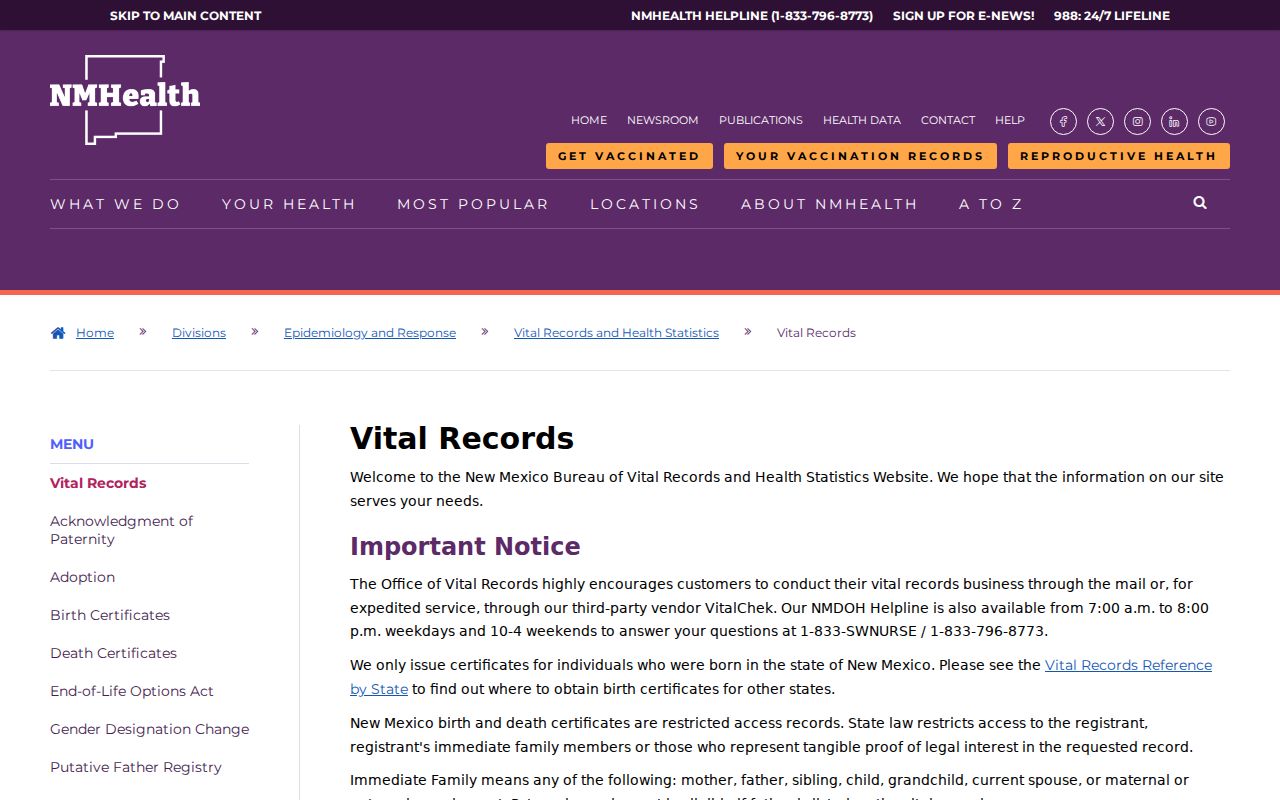
The office image marks the state custodian, not a public list of Alamogordo past residents.
Birth records become public 100 years after birth and death records 50 years after death. Otherwise, access is restricted to the registrant, immediate family, or a person with tangible proof of legal interest under the Vital Statistics Act and 7.2.2 NMAC. The birth-record instructions illustrate that restricted request path.
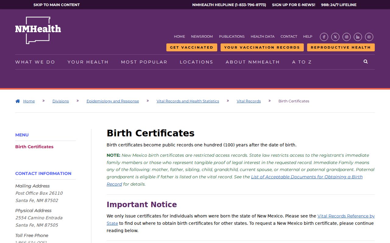
The image reinforces that an eligible vital-record request follows a separate state process from library and Clerk research.
Use Alamogordo Records Lawfully
Previous residents research in Alamogordo is appropriate for personal Alamogordo house history, family history, or civic curiosity. Recorded Alamogordo ownership does not identify every past household member, and a historical Alamogordo address clue can be incomplete. Safe at Home may substitute a mailing address for qualified participants, while other protected personal information remains outside public records.
Lawful use. Use Alamogordo records to understand an address history and verify uncertain facts with the custodian. Do not use a past name, address, or record trail to stalk, harass, or harm a person.
Record the Alamogordo unknowns as carefully as the matches. An unavailable portal, a missing local volume, or a street-name change is a real research result, not a reason to invent a connection. Previous residents research remains strongest when each Alamogordo gap is retained with its date and source.