
What an Alamogordo Neighbors Search Can Cover on a Block
Public sources have distinct jobs. City maps explain street and layer context; the Assessor is the county route for current ownership and assessment categories; recorded documents preserve a legal-description trail. A participant in a community program or the owner of a nearby parcel is not automatically every person who lives at an address.
| Source | What It Shows About a Block | Access |
|---|---|---|
| City Maps and GIS | Streets, control sheets, printable map, and addressing, infrastructure, or land-use geography | Maps hub, interactive ArcGIS map, or GIS data-request route; live tool fields were not verified. |
| Otero County Assessor | Current ownership, tax-history, and assessment-history categories for a parcel | EagleWeb or counter; the property record card is currently unavailable. |
| Otero County Clerk | Recorded deeds, mortgages, agreements, parties, and legal-description continuity | Documents Online or counter; online inspection failed, so fields and coverage are unconfirmed. |
| City Planning and Zoning | Subdivision, zoning, annexation, land-use, or permit-paperwork context | Department, forms, or a specifically described city request; no street permit search was verified. |
| NMVote and Otero Clerk | An individual’s authenticated self-record or a lawful voter-file question | No public by-street neighborhood browse; protected fields and confidential programs apply. |
| Neighborhood Watch | Community contact and participation framework | Police Community Relations; it is not a roster of households or members. |
This block-level distinction prevents a common error: a parcel owner can be connected to property, but that does not establish current occupancy or identify other members of a household. Start with the record that matches the question rather than trying to turn one record into a directory.
Start a Block Question With City Maps
Alamogordo’s Maps hub provides control sheets, a printable street map, and an interactive ArcGIS map. The City GIS description says it maintains addressing, infrastructure, and land-use layers and processes property and infrastructure data requests. These are useful for orienting a focal address, checking the surrounding street pattern, and identifying relevant geographic context.
The live ArcGIS controls did not render during research. Address autocomplete, parcel selection, buffers, adjacent-parcel tools, owner layers, and search fields were therefore not observed. The city also cautions that its maps are visual geographic information rather than a warranty of completeness or timeliness. Use a map to frame the block, then move to the county custodian for ownership and recorded-document facts.
When a map and a county record seem to point to different places, preserve the source date and ask staff which geography is being shown. A street address is useful for orientation, while a legal description, subdivision, lot, block, or survey clue can be the more durable property identifier. This distinction is especially useful when a nearby parcel question reaches beyond the city’s mapped context.
Map, Parcel Inquiry, Then Recorded Documents for Alamogordo Neighbors
The defensible order for a nearby-address question is map orientation, parcel inquiry, then recorded documents. It follows the boundaries of the official sources rather than presuming the city map itself names parcel owners.
- Use the City Maps hub, printable map, or control sheets to locate the address and identify the immediate block.
- Read available addressing, infrastructure, or land-use context without treating a layer as proof of ownership or residency.
- Ask the Otero County Assessor about current parcel information and preserve any parcel or legal-description clue exactly as supplied.
- Take a promising ownership or legal-description clue to the Otero County Clerk for the applicable recorded instrument and compare the document to the parcel question.
For a whole-street record chain, use the Alamogordo street directory. This page stays focused on the immediate block and on the difference between a mapped location, an owner record, and a recorded transfer.
The Assessor Card Outage Changes the Block Workflow
The Otero County Assessor’s EagleWeb landing page advertises current ownership, tax history, and assessment history, but the public property record card was removed by its provider because of a malfunction. The research also did not capture the JavaScript search fields. A purported click-by-click parcel tutorial would therefore overstate what has been verified.
Use the Assessor counter or call 575-437-5310 for current access conditions. The Assessor’s published timing notice says ownership for its 2026 Notices of Value was current through February 27, 2026, so a current question can require confirmation even after a result becomes available. The Assessor does not perform title searches or map legal descriptions, which is why a Clerk-recorded document remains a separate step.
Alamogordo GIS Layers Provide Context, Not a Neighbor Roster
City GIS supports city mapping, geospatial analysis, and a centralized data system shared with public and government users. Its public description identifies infrastructure, land-use, and addressing layers. This can help distinguish a road layout, mapped address pattern, land-use setting, or public infrastructure context around an Alamogordo block.
It does not verify a parcel-owner, adjacent-neighbor, or household tool. A question about subdivision, lot and block, zoning, or a replat can instead go to the appropriate city or county planning counter with the address, approximate date, and record type. City Planning and Zoning reviews zoning-related permit paperwork, but no public city permit lookup by street was located.
Recorded Documents Separate Nearby Ownership From Proximity
The County Clerk records and preserves deeds, mortgages, and agreements. A recorded acquisition document can connect named parties to a transfer and provide legal-description language that helps distinguish one parcel from another. It does not identify everyone who may be present at the property or establish a current personal connection beyond the document’s own date and terms.
Otero County’s Documents Online page returned a service error during research. Its search options, online coverage, image availability, fees, and redaction practices are not confirmed. The practical fallback is the Clerk counter at 1104 N. White Sands Boulevard, Suite C, or 575-437-4942. Bring a defined request, such as an owner name, approximate recording period, property address, or legal-description clue, and ask how the office can search the public record.
Alamogordo Neighborhood Watch Is a Community Contact, Not a Household Directory
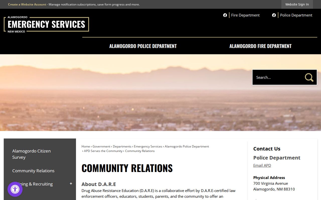
Police Community Relations describes Neighborhood Watch as a program that builds resident connections and supports crime prevention. Its public role is a community-contact route, not a source for a list of participating homes, association members, or block representatives.
| Community route | Published contact | What it is not |
|---|---|---|
| Police Community Relations and Training | 700 Virginia Avenue; 575-439-4304 | A household, HOA, neighborhood-association, or participant directory. |
| Alamogordo Police Department main line | 700 Virginia Avenue; 575-439-4300 | A public address-to-person lookup service. |
| City Planning and GIS | Map and land-use context, staff and data-request routes | A confirmed neighborhood-association or HOA roster. |
No official umbrella directory of named Alamogordo neighborhood associations, HOA contacts, civic councils, or membership rosters was located. Participation lists may be private, so a community program should be contacted through its published channel rather than treated as a source of personal information.
Official Records and Commercial Neighbor Categories Answer Different Questions
Official channels tie a fact to a custodian: City GIS for map context, the Assessor for current property categories, the Clerk for recorded documents, and Planning for land-use or subdivision context. Each has a known boundary and a staff fallback. A commercial neighbor-lookup category may combine information with different dates, provenance, and matching quality, so it should not override a city or county record.
If a parcel, map, or document appears inconsistent, ask the responsible office which current record can be inspected and whether a defined public-record request is appropriate. New Mexico IPRA concerns existing, specifically described records; it does not compel an agency to create a list of people around an address. For a suspect paid record solicitation, verify it with the Clerk or Assessor and use the New Mexico Department of Justice complaint channel if the offer appears deceptive.
The New Mexico Department of Justice complaint channel is the state route for consumer-protection concerns, not a substitute for a county record check.
NMVote Cannot Create an Alamogordo Neighbors List
New Mexico’s voter portal is an authenticated self-lookup. Its visible search requires first name, last name, date of birth, and county. It does not offer public browsing by street or address to identify neighbors. The state’s voting-location feature uses a street number and ZIP code to find a voting location, not a person or household.
Under NMSA 1978 §1-4-5.5, month and day of birth and Social Security number on a voter registration application are protected. The Otero County Clerk is the local contact for a lawful voter-file question, correction, or protected-record concern; the research did not locate a current official Otero request form, permitted-recipient rule, fee, or delivery format. Ask the Clerk what information, if any, is releasable for the specific purpose rather than inferring a block roster.
Privacy Limits on an Alamogordo Neighbors Search
Owner and occupant are different facts. Non-owner household members are not created by a property roll, utility customer data are not a public block directory, and driver-license information has federal privacy limits. Court Case Lookup withholds addresses and PII. Safe at Home, administered by the Secretary of State, provides a substitute mailing address for qualifying survivors; a protected or absent address should never be treated as an error to overcome.
New Mexico Secretary of State services include the statewide Safe at Home route. The program’s existence is a practical reminder that records availability does not authorize pursuing a person or reconstructing a protected location.
Lawful use. Use public block records for a defined personal, civic, property, or safety question. Do not use an Alamogordo neighbors search to stalk, harass, intimidate, accuse, or confront anyone. Verify uncertain facts with the responsible custodian and accept lawful omissions or redactions.